
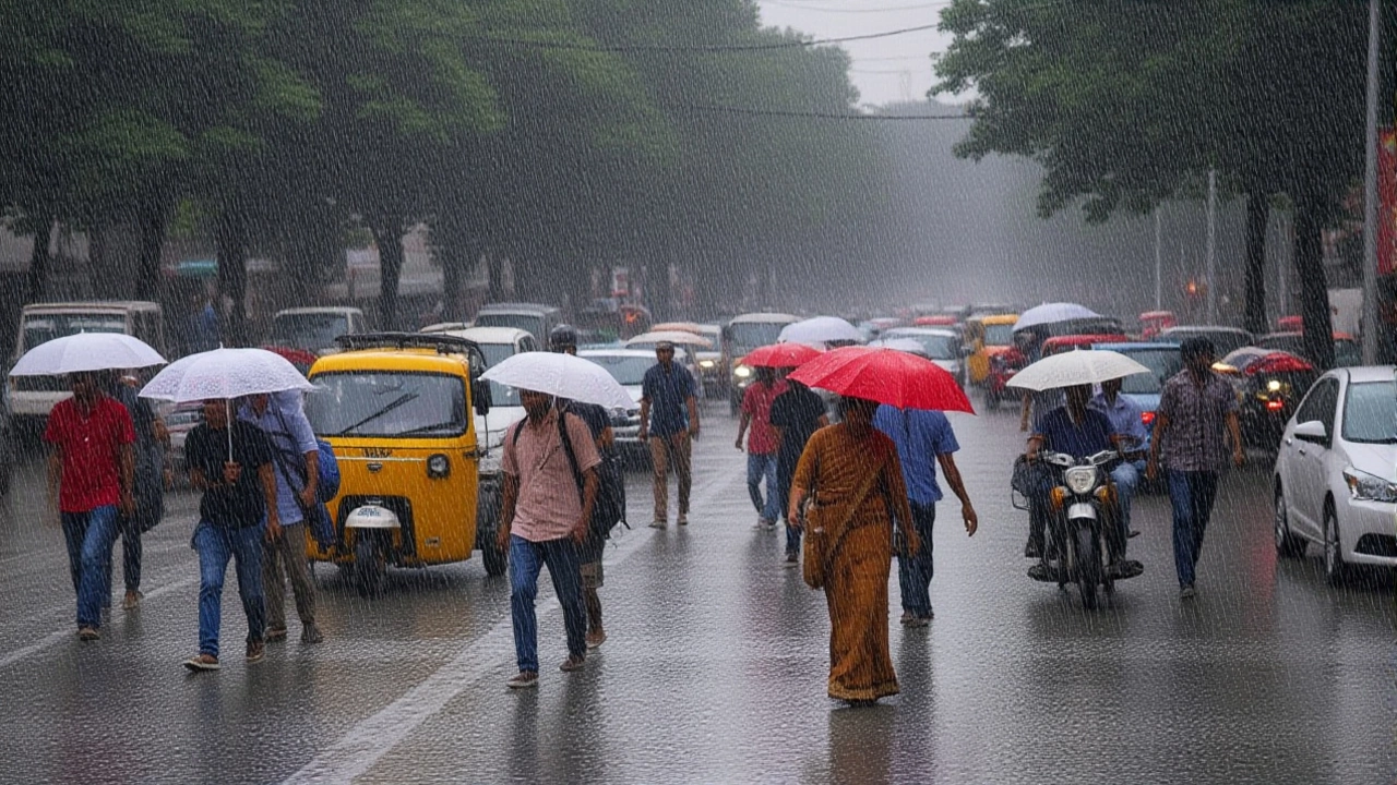
It’s a tale of two Indias right now. While millions in the north are sweating through severe heatwaves, over 20 states are bracing for violent storms, heavy rain, and lightning strikes. The India Meteorological Department (IMD) has issued urgent alerts valid until May 5, warning that the weather is about to get messy.
The twist? It’s not just rain. We’re talking about thundersqualls—sudden, intense bursts of wind and rain—that could hit areas from the Northeast to the central belt. Meanwhile, cities like Delhi and Jaipur are baking under temperatures nearing 47°C. If you’re planning to step out this week, check your local forecast twice.
A Nation Split by Weather Extremes
Here’s the thing: India is currently dealing with seven active cyclonic circulations simultaneously. That’s a lot of atmospheric energy swirling around. Combined with a western disturbance near the Pakistan border, these systems are creating a chaotic mix of conditions across the country.
In the Northeast, the situation looks particularly wet. Between May 3 and May 5, sub-Himalayan West Bengal, Sikkim, and the entire Northeast region are expected to see good rainfall. But it won’t be gentle. Winds gusting between 40 and 60 km/h are likely, accompanied by frequent lightning. In some parts of Assam, Meghalaya, and Arunachal Pradesh, winds could spike to 80-100 km/h, threatening daily life and infrastructure.
Contrast that with the scorching reality in the north. Delhi, Rajasthan, and parts of Punjab are still grappling with heatwaves. In Jharsuguda, Odisha, temperatures recently hit 45.2°C. The IMD warns that “warm nights” will prevent any real relief for residents in Bolangir and Salipur, where orange alerts remain in place until May 28.
Storms, Dust, and Power Cuts
For those in the National Capital Region, the break from the heat might come with a side of dust. Delhi, Noida, Gurgaon, and Faridabad are expecting light to moderate rain mixed with dust storms. Winds here are predicted to reach 40-50 km/h. Surprisingly, this could drop temperatures by 2-3°C—a small mercy, but welcome nonetheless.
But wait, there’s a catch. These sudden squalls often knock out power lines. Residents should expect potential electricity disruptions and traffic jams. In Uttar Pradesh districts like Meerut, Agra, and Varanasi, the threat includes hailstorms alongside heavy rain. Temperatures there may dip to around 34°C, but the risk to property and crops remains high.
Bihar and Jharkhand are also in the crosshairs. With winds potentially hitting 60 km/h, farmers are worried about their standing crops. The IMD has issued yellow and orange alerts for Bihar, Chhattisgarh, Andhra Pradesh, and eastern Rajasthan, specifically flagging the risk of thundersqualls.
What Experts Are Saying
Sandip Kumar Sharma, a scientist at the India Meteorological Department, highlighted the intensity of the coming systems in recent briefings. He noted that wind speeds in southern states like Karnataka and Telangana could range from 53 to 63 km/h during rainfall events.
The pre-monsoon activity is intensifying rapidly. Kerala is seeing early signs of the monsoon’s arrival, which usually brings much-needed cooling. However, for the northern plains, the transition is turbulent. As one meteorologist put it, "The atmosphere is unstable. When hot air meets these moist, moving systems, you get explosive weather."
This isn’t unusual for late spring in India, but the scale is notable. Last year, similar patterns caused widespread flooding in Himachal Pradesh and Uttarakhand. This time, the focus is more on the eastern and central belts, with the north remaining dry and dangerously hot.

Safety First: What You Need to Know
If you live in an alert zone, stay indoors during peak storm hours. Lightning strikes are a genuine danger, so avoid open fields and tall trees. Keep emergency kits ready, especially if you rely on medical equipment that needs power.
For travelers, flights and trains in the Northeast and Eastern regions may face delays. Check status updates before heading to the station or airport. In heatwave zones, limit outdoor activity between 12 PM and 4 PM, and hydrate constantly.
Frequently Asked Questions
Which states are under the highest weather alerts?
Over 20 states have been flagged, but the most critical alerts are for the Northeast (Assam, Meghalaya, Arunachal Pradesh), Bihar, Jharkhand, and parts of Central India. Orange alerts indicate severe conditions with high wind speeds and heavy rainfall, while yellow alerts suggest moderate risks. Northern states like Rajasthan and Delhi remain under severe heatwave warnings.
When will the monsoon arrive in Kerala?
Pre-monsoon activities are already intensifying in Kerala, suggesting an earlier-than-usual arrival of the Southwest Monsoon. While exact dates can shift, meteorologists are tracking increased cloud cover and rainfall patterns that typically precede the official monsoon onset in late May or early June.
Why are there dust storms in Delhi?
Delhi is experiencing a mix of pre-monsoon humidity and strong winds from approaching low-pressure systems. This combination lifts loose soil and dust, creating dust storms. While unpleasant, these storms often bring a temporary drop in temperature and improve air quality by washing out pollutants.
How long will the heatwave last in Rajasthan and Odisha?
In Rajasthan, dry and hot conditions are expected to persist for at least a week, with temperatures rising further. In Odisha, the heatwave is projected to continue until May 28, with nighttime temperatures remaining uncomfortably high. Residents are advised to take strict precautions against heatstroke.
What is a thundersquall?
A thundersquall is a localized, violent storm characterized by strong, gusty winds and heavy rain, often associated with thunderstorms. Unlike regular rain, thundersqualls can develop suddenly and cause significant damage to structures, crops, and power lines due to wind speeds exceeding 60 km/h.
Leave a comments